ICIWaRM Presents Results of Tuul River, Mongolia Groundwater Model to Decision Makers
From September 12-16, 2016, ICIWaRM scientists delivered results of development and application of the MODFLOW surface-groundwater flow model of the Tuul River area near Ulaanbaatar to over 30 Mongolian professionals in partnership with the Ministry of Environment and Tourism (MET), Fresh Water Institute (FWI), and UNESCO.

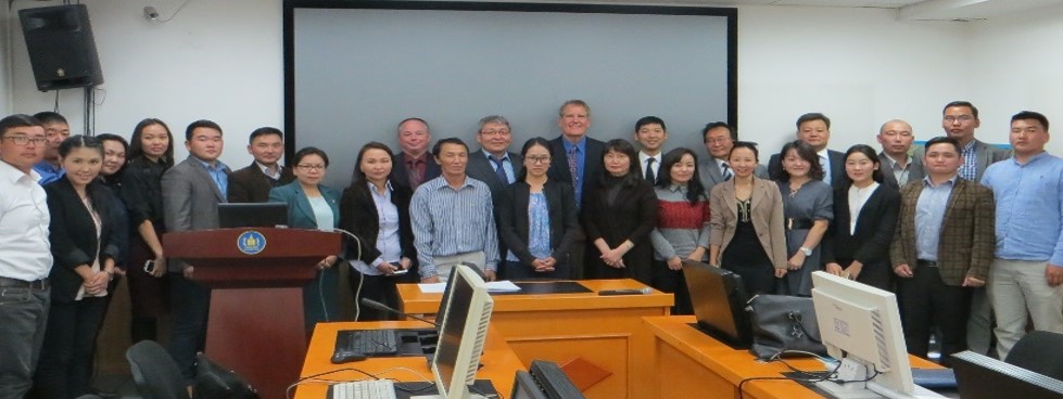
Tuul Groundwater Model Delivery Workshop Workshop participants
The presentations included steady-state and transient model results, as well as climate scenarios and water use simulations to understand effects on groundwater storage and streamflow for the Center Area of the Tuul River Basin in Mongolia. The interactions between the Tuul River and groundwater were also highlighted.
The results were the product of long-term efforts in the basin of US Army Corps of Engineers and US Geological Survey since 2013, including a 2015 Groundwater Modeling Workshop. The model products were presented to decision-makers for consideration in current water-related planning activities.
USACE groundwater modeling experts presented a path forward of developing the Tuul River Groundwater Model, expanding the boundaries beyond the Center Area, and coupling hydrologic and hydraulic models so that the Government of Mongolia will be able to estimate impacts across all the well fields and throughout the watershed. A funding plan will be developed to identify and secure resourcing for experts for the next phase of model development.
