
ICIWaRM Presents Training Course on Gridded Surface Subsurface Hydrologic Analysis (GSSHA)
The Guayubín River is part of a subbasin of the Yaque del Norte basin, the most important river system in the northwestern Dominican Republic. As elsewhere in the region, a variety of activities occur in the subbasin, including forestry and afforestation, cattle-ranching, subsistence and cash-crop farming, and light industry. A dam is also planned for the middle Guayubín River, for flood risk management, irrigation, and potentially hydropower. Thus, many stakeholders are engaged in the basin.
To contribute to bottom-up decision-making, a USAID-project funded project, “Development of a Decision-Support Tool for the Sustainable Management of Water Resources in the Guayubín Watershed”, was formulated and funded. ICIWaRM, along with the Jacksonville District of the U.S. Army Corps of Engineers (SAJ), was asked to be the technical manager of the project. The Instituto Nacional de Recursos Hídricos (INDRHI) took the technical lead for the Dominican government. INDRHI is also the host institution of the Centro para la Gestión Sostenible de los Recursos Hídricos en los Estados Insulares del Caribe (CEHICA), a UNESCO Category 2 center like ICIWaRM.
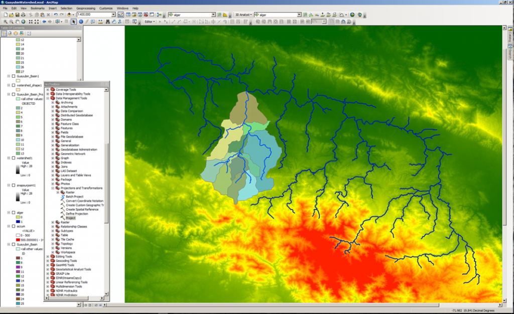
As a prelude for stakeholder-driven decision-making for water resources management, one of the project goals was to create a watershed model of the Guayubín subbasin. The Gridded Surface Subsurface Hydrologic Analysis (GSSHA) model, developed at the U.S. Army Corps of Engineers, Engineering Research and Development Center (ERDC) and the University of Wyoming, was chosen for this purpose. Since the end goal is for Dominican scientists and engineers to control and run the model, a “Workshop on Watershed Modeling with GSSHA” was held on September 15-16, on a virtual platform.
The course was given by engineers from SAJ and ERDC. It also included an introduction to the U.S. Dept. of Defense Watershed Modeling System (WMS), data requirements, and finding and using spatial geographic data to develop GSSHA models using the WMS Hydrologic Model Wizard. The course comprised a combination of lectures and experiential applications.